
 Translate
Thermosalinograph
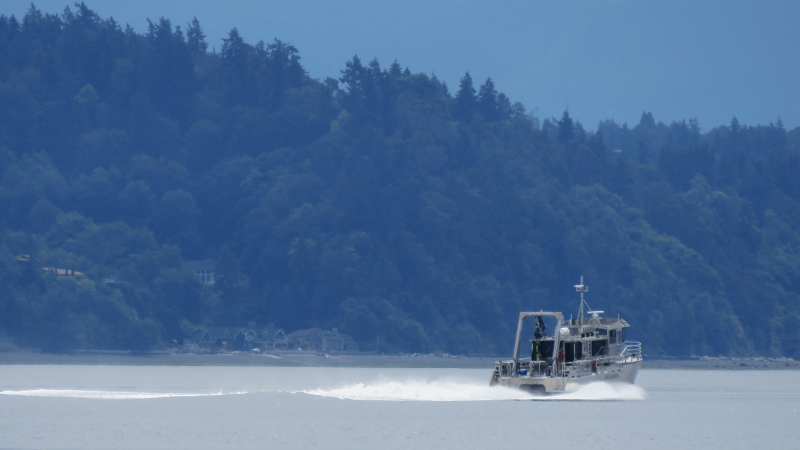
Most of the data from King County’s marine offshore water quality program can be described as “vertical” because its sampling tools track how water changes as they descend into the depths, from the surface to the seafloor. Data from a thermosalinograph (TSG) can be described as “horizontal,” meaning it tracks how water on the surface changes as a research vessel travels between points on a map. Both sets of data complement one another and provide valuable insight into water masses across Puget Sound. King County’s research vessel the SoundGuardian uses a TSG to measure surface temperature and salinity as it travels between 14 offshore stations in Central Basin and 11 stations in Whidbey Basin. The TSG measures continuously as the boat travels across Puget Sound on twice-monthly sampling trips (monthly in December and January). Greater spatial coverage from the TSG gives insight into the impact of weather and oceanographic processes, such as tides, oceanic circulation, and rainfall, and how different areas of Puget Sound are responding to these conditions. Combined with data from the offshore monitoring program, TSG data help explain how water is moving across Puget Sound and how that movement might affect other factors like the distribution of nutrients and growth conditions for phytoplankton.
More Information
The goals of this monitoring are to:
-
Provide greater spatial coverage to our temperature and salinity dataset.
-
Identify temperature and salinity conditions in surface water across Central Basin and Whidbey Basin.
-
Supplement data from the offshore water quality program and Whidbey Basin monitoring program.
-
Characterize differences in surface temperature and salinity throughout Puget Sound.
-
Support regional marine monitoring and modeling efforts.
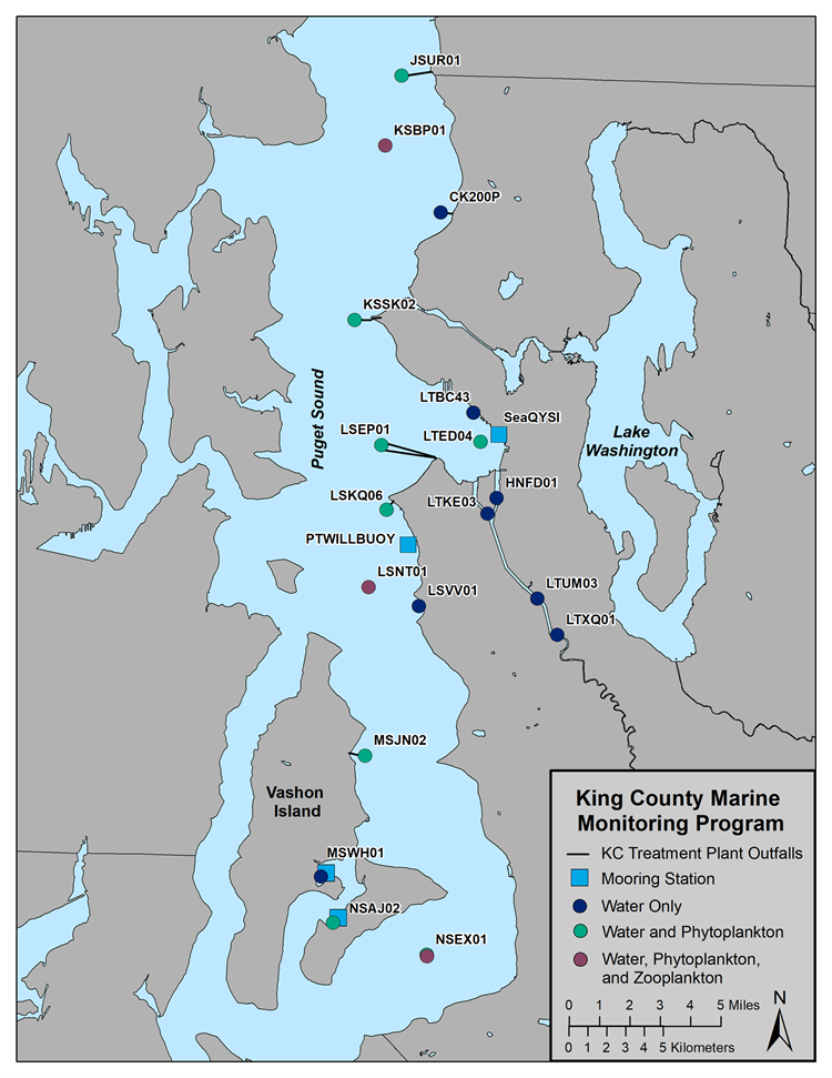
Map of King County's offshore sampling locations within Central Basin. The thermosalinograph collects temperature and salinity data continuously as the SoundGuardian travels between each station.
Access Data
Contact MarineWQ@kingcounty.gov for thermosalinograph data and information about the most recent quality control.
Note: some data may be provisional.