Map and Record Center

The King County Map and Record Center at the Road Services Division Maintenance Headquarters, "H" Building.
About the Map and Record Center
The King County Map and Records Center is a repository for documents associated with the establishment and construction of roads in unincorporated King County for the King County Road Services Division.
Our records collection includes design and construction project files, correspondence, contracts, agreements, field books and technical reports. We also keep a collection of engineering drawings for road projects, topographic maps, Engineers' maps, plat maps, section breakdowns and road establishment documents.
We are the office of record for the County Road Engineer.
Map Vault

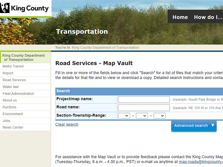
Visit the Roads Map Vault to access road construction plans, road establishment documents, survey drawings, and more.
Historic road-related documents
In addition to the many documents available digitally from our Map Vault, the Map and Records Center maintains a physical collection of Government Land Office field notes and copies of territorial township plat maps, topography maps, inspection books for early road projects and survey field books.
Photocopies of these documents are available for purchase at the Map Counter.
Need help with your research project?
We can assist with:
| Construction drawings | Historical survey data | Road establishment |
|---|---|---|
| Channeling and striping | Monumentation | Plats |
| Road surfacing | Field books | Deeds |
| Storm water drainage | Profiles | Public right-of-way |
| Bridges and guardrail installation | Section breakdowns |
If you are researching a particular topic, call ahead to arrange an appointment because some materials are stored offsite and may take time to retrieve.
Essential roadway research resources
Road Map Vault
The Road Map Vault is a database containing scanned images of documents in the Map and Records Center including but not limited to road construction plans, road establishment documents and survey drawings. This database is updated as new documents are received by the Map and Records Center.
King County Recorder's Office Records Search
This link is the portal to the Recorder's Office online Records Search for plats, surveys and easements.
King County Parcel Viewer
Entering a property address, a parcel number or street intersection will produce links specific to the property such as a property report, a district report and a link to any associated permits filed through the Department of Permitting and Environmental Review (DPER). The property report provides information useful for roads research such as the section, township and range and a link to the appropriate Assessor Quarter Section Map.
King County Department of Assessments eMap Search
This link is a short cut to the online collection of Assessor Quarter Section Maps. Assessor Maps contain useful information for roads research including historic and contemporary road names, recording numbers, survey numbers, the original county road numerical reference and plat names.
King County Archives
A repository of historical county government records, which are open to the public to view, by appointment only. Over three hundred collections, some dating back to 1853, serve as a permanent source of information about activities, programs, and decisions of King County agencies and elected officials. The records are in many formats, including paper, photographs, maps, and audio-visual materials. All records are open to the public by appointment.
King County GIS Map Index
An online index of various maps and resources courtesy of King County Department of Natural Resources' GIS Center.
eReal Property System
King County road systems and right-of-ways often abut with tax parcels. Use the Assessor’s online application to view parcel characteristics, values and sale history.
 Translate