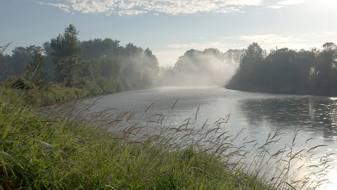
Snoqualmie-Skykomish River Watershed

Rebuild safer and stronger after a flood
Do you have questions about repairs to your flooded property? Contact our floodplain management team at 206-477-4812. Our staff can give you information on mitigation options to help protect your building from future flood damage. Some options may lower your homeowners and flood insurance premiums or increase the value of your property.
The Snoqualmie - Skykomish Watershed is comprised of two separate watersheds that drain the rural northeast 2/5 of King County. The Snoqualmie and Skykomish Rivers flow into the Snohomish River and out into Puget Sound. The watershed includes the Tolt River, Raging River, Miller River, Tokul Creek, Griffin Creek, Harris Creek, Patterson Creek, and other tributaries.
Basin Steward Program
Find out what Water and Land Resources' Basin Steward Program does and how to contact your Basin Stewards.
Flooding and hydrology
Flood services and info for Snoqualmie-South Fork Skykomish Watershed
Find flood services serving the Snoqualmie Valley and along Skykomish River, look up the latest river conditions, learn about local risks, flood protection infrastructure, projects and flood studies in the watershed, and its flood ecology.
King County Flood Warning System
Real-time gage readings, flood phase/river crest descriptions, maps and reports for the Snoqualmie River, Skykomish River and the Tolt River in the Snoqualmie River Watershed.
Historic flood photo viewer
Use a map to to look up aerial photos of past floods on the Snoqualmie River and its tributaries in King County.
Snoqualmie Fish, Farm & Flood
Community-driven effort to resolve conflicting priorities for salmon restoration, developing the farm economy and reducing risk of flood damage in the Snoqualmie Valley.
Hydrologic station map
Look up detailed station data for creeks and rivers in the region.
Surface water management and groundwater
Report problems: drainage and water quality
Stormwater runoff pollution and how to reduce it
Rainstorms rinse the watershed faster when covered by hard surfaces like roofs and roads. Learn how stormwater brings pollution, wastes and sediments into streams, rivers and lakes and how you can keep stormwater clean.
Agricultural waterway classification maps
Agricultural waterways are classified for their salmonid use to simplify maintenance permits for agricultural drainage ditches.
Snohomish River watershed map
Drainage map displaying streams, lakes, drainage divides, cities, and major roads in the area draining to the Snohomish River, including Snoqualmie-Skykomish River in King County.
Salmon recovery
Salmon conservation and recovery in the Snoqualmie/ Skykomish watershed
A "one-stop" reference for local residents, elected officials, and city and agency staff members who are interested in salmon conservation in the Snoqualmie-Skykomish Watershed.
WRIA 7 plans, studies and maps
- Final WRIA 7 salmon conservation plan
Snohomish River Basin - Fall City Feasibility Report
- Snoqualmie Water Quality Synthesis Report
The Restore and Protect Project
Project to identify habitat stressors and recommend restoration and protection actions to improve freshwater quality and aquatic habitat in Puget Sound streams including Margaret Creek and Weiss Creek in the Snoqualmie-Skykomish River Watershed.
Pollution monitoring
Rivers and streams: ongoing water quality sampling in Lake Washington streams and rivers. Water quality data are available online for:
- Ames Creek
- Cherry Creek
- Griffin Creek
- Harris Creek
- Patterson Creek
- Raging River
- Skykomish River
- Snoqualmie River - North Fork, Middle Fork, and South Fork
- Tolt River
Lakes: statistics and water quality
Wastewater treatment
Carnation wastewater treatment plant
Overview of the valley's wastewater treatment plant describes how it highly treats wastewater and reclaims water to discharge through the naturally filtering wetland at Chinook Bend Natural Area.
Recreation and appreciation
Snoqualmie Valley Trail
The Snoqualmie Valley trail offers the opportunity to get out and explore one of the most beautiful agricultural valleys in the region. The trail meanders past working farms as well as preserved open space areas, and connects to the cross-state John Wayne pioneer trail in Iron Horse State Park. Points of interest include Tolt-MacDonald park, Meadowbrook farm, Three Forks natural area and the Tokul trestle.
Natural areas
Look up individual properties protected in King County's open space system for their ecological and working resource values. The natural lands site provides addresses, pictures, location maps and rules for public use:
- Carnation Marsh Natural Area
- Chinook Bend Natural Area
- Fall City Natural Area
- Griffin Creek Natural Area
- Little Si Natural Area
- Middle Fork Snoqualmie Natural Area
- Moss Lake Natural Area
- Nowak Natural Area
- Patterson Creek Natural Area
- Raging River Natural Area
- Ring Hill forest
- Stillwater Natural Area
- Three Forks Natural Area
- Tolt River Natural Area
Fishing regulations and seasons
Washington Dept. of Fish and Wildlife fishing rules for Washington State including Snoqualmie River and Skykomish River, their tributaries and lakes within the watershed.
Lands
Snoqualmie Watershed geology report
An overview of the geology and geomorphology of the Snoqualmie River Watershed.
Snoqualmie Valley Agricultural Strategic Plan
Evaluating needs for infrastructure, policy, and regulatory improvements for commercial farmers in the Snoqualmie Valley Agricultural Production District to solve problems well and produce good results for years to come.
Agriculture in King County, Washington
Info about several programs serving growers in King County and resources promoting local agriculture. The Snoqualmie Valley encompasses one of King County's larger agricultural districts.
Forestry services and information
Info about several King County programs serving foresters and homeowners involved in forestry.
Current use taxation programs
Incentive programs to help encourage private landowners to voluntarily conserve and protect land resources, open space and timber.
Transfer of Development Rights
Preserve rural lands by selling the right to develop the same amount of housing in urban areas.
 Translate