Bel-Red Subarea
Overview
In 2009, King County and the City of Bellevue entered into an interlocal agreement for the implementation of a regional program to transfer development rights from rural King County to the Bel-Red Subarea in the City of Bellevue. This agreement created a partnership where King County and the City of Bellevue work together to catalyze urban infill development while concurrently preserving farm and forest land along the I-90 corridor in King County. As part of the agreement, King County provided $750,000 of Conservation Futures Tax (CFT) funds to the City of Bellevue to help the city purchase an urban “pocket” park in the Bel-Red Subarea.
Bel-Red TDR Receiving Area
Location
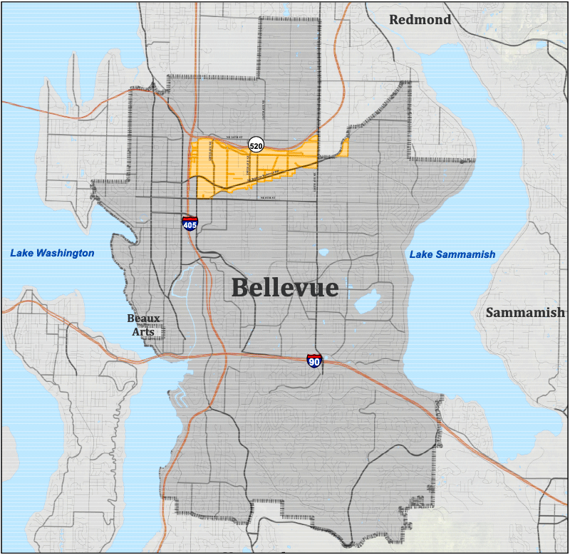
The Bel-Red Subarea is located between downtown Bellevue and Redmond/Overlake. It is in close proximity to SR-520 and I-405.
Bel-Red’s vision: To develop a sustainable urban development pattern that dramatically reshapes the future of Bel-Red while allowing the area to transition gracefully from the past.
Bel-Red Rendering
Using rural TDR credits in the Bel-Red Subarea
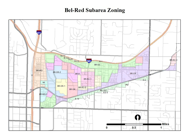
TDR credits may be used in the Bel-Red Subarea from rural sending sites in The Greenway Focus Area and The White River Focus Area, including sending sites that are part of King County’s TDR bank. The Bel-Red Floor Area Ratio (FAR) Amenity Incentive System allows Bel-Red development projects to exceed base FAR and base building heights through the use of rural TDR credits.
- Zoning Requirements: MO-1, OR-1, RC-1, RC-2, RC-3, CR, R
- Additional Development Capacity: 1,333 square feet per TDR
- TDR credits for use in the entire Bel-Red Subarea are limited to 75
 Translate


